GIS Vehicle Tracking Platform
GIS manage System Manual: User manual
Region Alarm Setting Manual: User manual
Vehicle Fuel Checking Data Collecting Instructions: User manual
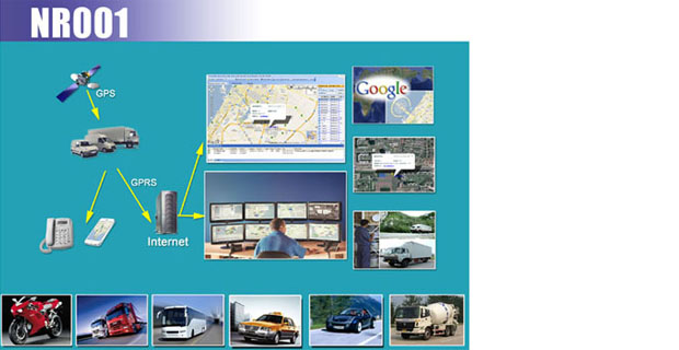
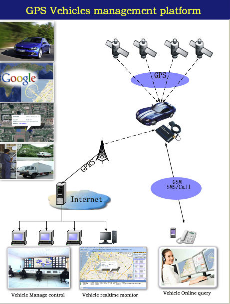
GIS vehicle tracking platform is a web based vehicle tracking system mainly applied for logistics, vehicle rent, 4S store and company vehicle management, personal user and so on.
Main Functions of GIS Web Vehicle Tracking Platform
- 1. Manage clients, add/delete/edit client account and information
- 2. Real time monitor vehicles
- 3. Check vehicle status: location, speed, direction, etc.
- 4. History trace playback
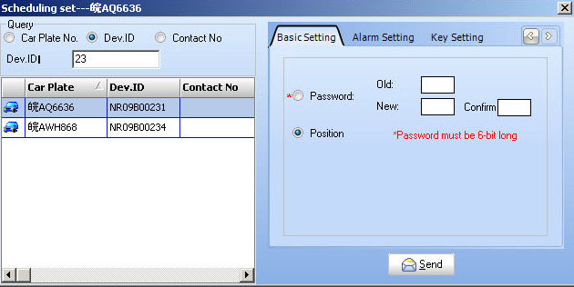
- 5. Set interval time, distance alarm (Geo-fence), over-speed alarm by GPRS.
- 6. Remotely cut off oil supply & recover oil supply,
- 7. Restart GPS units remotely
- 8. Freely set area enter/leave alarm
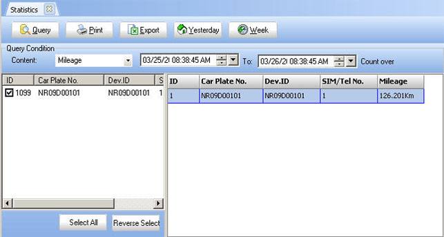
- 9. Mileage calculation
- 10. Check Images uploaded by NR024 and NR028 with camera
- 11. RFID record
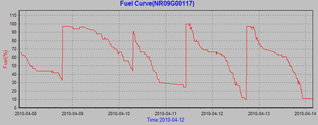
- 12. Check fuel consumption from Fuel Curve
- 13. Movement Reports: Vehicle Stop/Start time report, Engine ON Idle time report, and so on
- 14. Alarm Reports: ACC alarm/Over-speed alarm/Distance Alarm/Enter Alarm/Leave Alarm, and so on
- 15. System management: Client management/Vehicle management/Authorization management
Service for Web Based Vehicle Tracking System
- Free use Noran GIS Vehicle Tracking Platform
- Free install GIS Vehicle Tracking Platform to customer’s server
- Free integrate GPS Tracking Units to customer’s platform
(1)Remote control and manage
(2)History trace playback
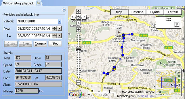
(3)Vehicle Tracking
![]()
(4)Statistics
 Mileage
 Fuel check(Fuel Curve)
